By Chris Erwin
Over the years a lot has been written about fish migration routes, and for a good reason. One of the early findings from the Bass Research Foundation was that bass do indeed follow migration routes both as the seasons change and as they go about their daily routines.
Daily routines can be small movements. For example, from a ledge to a grass line where baitfish begin to congregate as the oxygen level rises when the sun spurs photosynthesis in the plant life.
But the migration routes that can improve your ability to find fish are the routes that bass and other fish use from season to season as the water begins to warm and fish become active and feed after being in a semi-dormant state from the cold water of winter.
The key temperature to remember is 50 degrees. Once water temperatures reach that magic number bass will begin to move toward the bank. Knowing where this will happen and how the fish get there will give you an advantage because fish will stage along this route waiting for weather patterns where they can move up on points and flats.
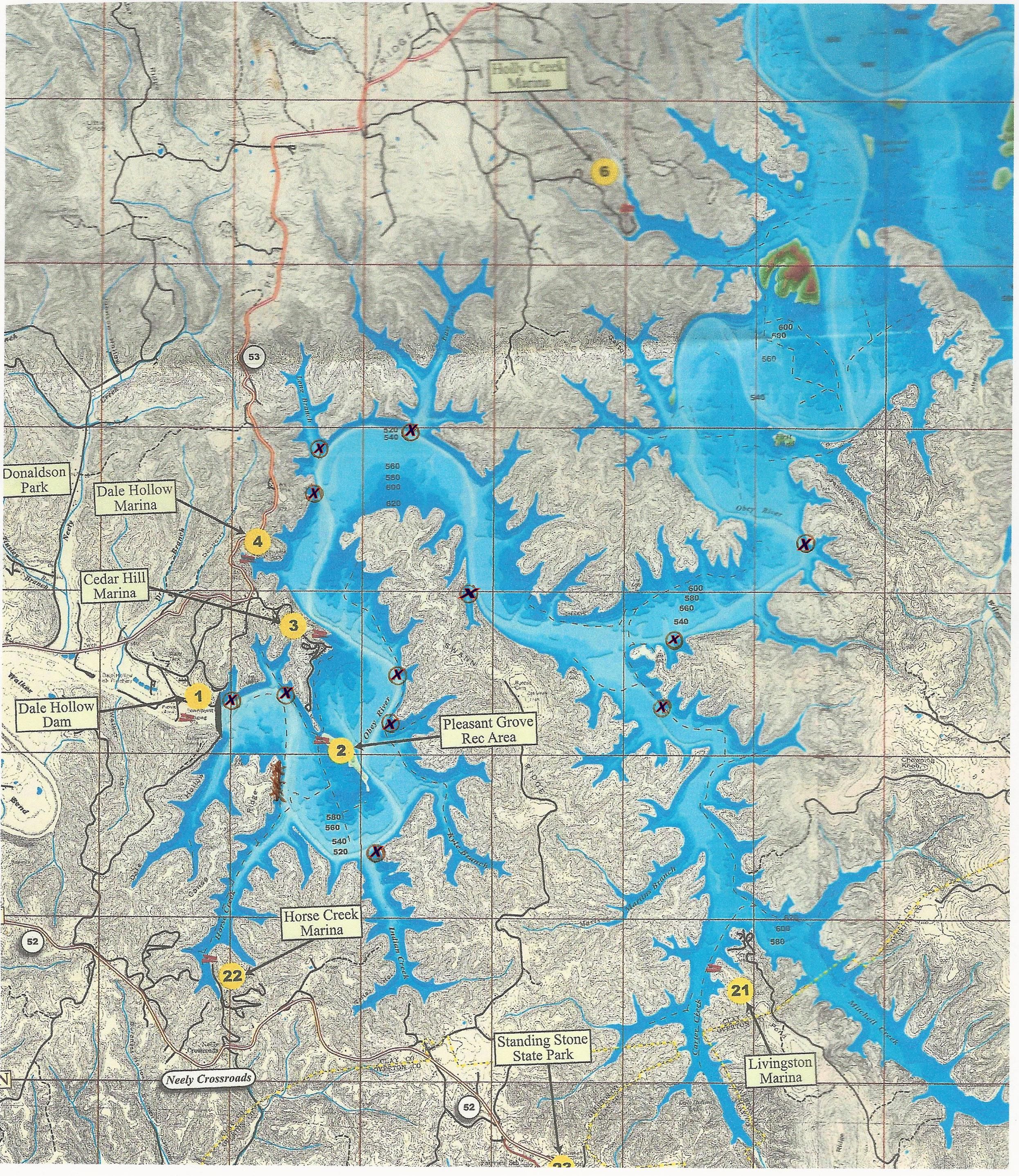
I have included a graphic this week to give you an idea what to look for and how to use a topographic map to aid in finding migration routes. On the Licking River, an old ditch that were trenched out years before the lake was formed, acts as a route every spring for fish coming out of deep water and crossing one of the flats. While this ditch is only about two feet deep and three feet wide, I have caught dozens of fish here each spring when the water hits about 56 degrees.
Small things can make a big difference and it is a good idea to get out on the water before lakes return to summer pool. Take your map and mark any depressions, creeks, ditches, tree lines, stump rows, large rocks or anything else that could be used as cover when these fish move from deep water to feeding areas.

Another feature to look for on your map is where the water level has a sharp elevation change near flats and points. These areas will be the first to be visited as the water warms. They are quick and easy spots where fish can go from deep to shallow water. If you find some structure lying near these edges, something like a down tree or old bridge abutment or anything lying on the bottom, these are notable because these can be a feature where fish will congregate as they migrate to shallow water.
Points should never be overlooked. It doesn’t matter if they are deep or shallow, if they get the morning sun it’s a place that should be investigated. You may find in time that some places can be marked off as a waste of time in early spring while other will pay off almost every time you visit them.
Once you locate these areas, mark them on your map. Look at the elevation lines to see how quickly the water is going from deep to shallow. If you find structure on your depth finder mark it and if your depth finder has waypoints, mark it. You can even keep a record of GPS locations so you can find them quickly the next time you visit.
As we get into spring, I will show you what baits I use and how I use all of these tools to help locate and catch spring bass. I know it is bitter cold as I write this column, but we are just weeks away from spring. As bad as it is right now, it won’t be long until we can shake the cabin fever and catch a fish.


Be the first to comment